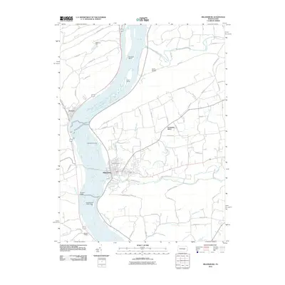
2010 Map of Millersburg
USGS Topo · Published 2010About this map
Millersburg sits at the confluence of Wiconisco Creek and the Susquehanna River, serving as a focal point for the river-valley communities of Dauphin and Perry Counties. The 2010 landscape is characterized by the broad river channel, punctuated by large landforms such as Sweigarts Island and Crafts Island. To the west, the settlement of Liverpool clings to the riverbank, while the residential development of Pleasant Hills spreads to the east. The terrain is defined by dramatic geological features, most notably the Susquehanna Water Gaps and the sheltered stretches of Hunters Valley and Bucks Valley. Local genealogy and land history are preserved at Oak Hill Cemetery and Rickard Memorial Cemetery, which overlook the surrounding hillsides. Water management is evident through various structures, including Markunas Dam on Boyers Run and the Kaercher Creek Dam, which modulate the drainage into the primary river corridor.
Find a feature on this map
69 named features on this map. Tap any name to fly to it.
Don’t see what you’re looking for? This feature index may not catch every label — zoom into the map to look around manually.
Map Details
Editions of this 2010 Millersburg Map
This is the sole edition of this map. No revisions or reprints were ever made.
Other maps of this area

1892 · Harrisburg
USGS Topo · 1:62,500

1893 · Millersburg
USGS Topo · 1:62,500

1899 · Harrisburg
USGS Topo · 1:62,500

1907 · New Bloomfield
USGS Topo · 1:62,500

1907 · Millerstown
USGS Topo · 1:62,500

1924 · Harrisburg
USGS Topo · 1:62,500

1943 · Millerstown
USGS Topo · 1:62,500

1943 · Millersburg
USGS Topo · 1:62,500

1943 · Harrisburg
USGS Topo · 1:62,500

1943 · New Bloomfield
USGS Topo · 1:62,500
Featured Places
- Malta, Lower Mahanoy Township
- Lenkerville, Upper Paxton Township
- Fisherville, Jackson Township
- Killinger, Upper Paxton Township
- Rife, Upper Paxton Township