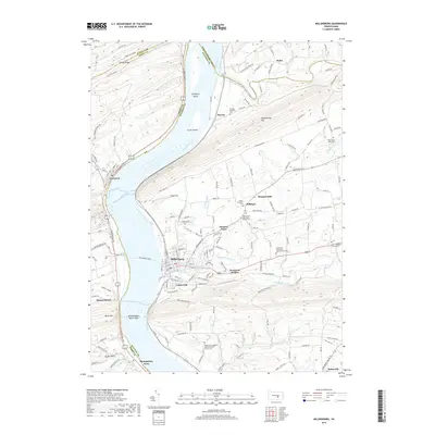
2019 Map of Millersburg
USGS Topo · Published 2019About this map
The Susquehanna River dominates this section of central Pennsylvania, where the historic Millersburg Ferry continues its long tradition of crossing the water between Dauphin and Perry counties. The borough of Millersburg serves as a primary hub, bordered by the communities of Lenkerville and Reservoir Heights. The geography is defined by the Susquehanna Water Gaps, where the river carves through significant ridges such as Turkey Ridge, Mahantango Mtn, and Berry Mtn.
Find a feature on this map
144 named features on this map. Tap any name to fly to it.
Don’t see what you’re looking for? This feature index may not catch every label — zoom into the map to look around manually.
Map Details
Editions of this 2019 Millersburg Map
This is the sole edition of this map. No revisions or reprints were ever made.
Other maps of this area

1892 · Harrisburg
USGS Topo · 1:62,500

1893 · Millersburg
USGS Topo · 1:62,500

1899 · Harrisburg
USGS Topo · 1:62,500

1907 · New Bloomfield
USGS Topo · 1:62,500

1907 · Millerstown
USGS Topo · 1:62,500

1924 · Harrisburg
USGS Topo · 1:62,500

1943 · Millerstown
USGS Topo · 1:62,500

1943 · Millersburg
USGS Topo · 1:62,500

1943 · Harrisburg
USGS Topo · 1:62,500

1943 · New Bloomfield
USGS Topo · 1:62,500
Featured Places
- Malta, Lower Mahanoy Township
- Lenkerville, Upper Paxton Township
- Fisherville, Jackson Township
- Killinger, Upper Paxton Township
- Rife, Upper Paxton Township