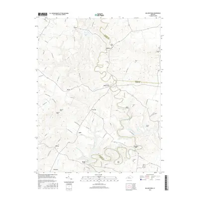
2016 Map of Millerstown
USGS Topo · Published 2016About this map
The Nolin River meanders sharply through the central landscape of this Kentucky quadrangle, where the borders of Hardin, Grayson, and Hart counties converge. Small settlements like Millerstown, Lacon, and Broad Ford are distributed across a terrain defined by deep valleys and prominent ridges, including Akers Valley and Buzzard Ridge. The river's winding path creates distinctive landforms such as Bush Bend and Joyce Island, reflecting the influence of the local hydrography on historical land use and travel.
Find a feature on this map
85 named features on this map. Tap any name to fly to it.
Don’t see what you’re looking for? This feature index may not catch every label — zoom into the map to look around manually.
Map Details
Editions of this 2016 Millerstown Map
This is the sole edition of this map. No revisions or reprints were ever made.
Other maps of this area

1925 · Cub Run
USGS Topo · 1:62,500

1932 · Big Clifty
USGS Topo · 1:62,500

1934 · Munfordville
USGS Topo · 1:48,000

1935 · Elizabethtown
USGS Topo · 1:48,000

1937 · Munfordville
USGS Topo · 1:62,500

1938 · Elizabethtown
USGS Topo · 1:62,500

1949 · Sonora
USGS Topo · 1:24,000

1949 · Summit
USGS Topo · 1:24,000

1949 · Big Clifty
USGS Topo · 1:24,000

1949 · Big Clifty
USGS Topo · 1:62,500