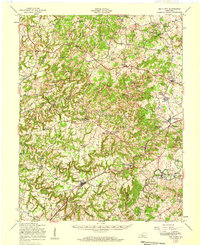
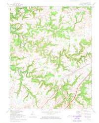
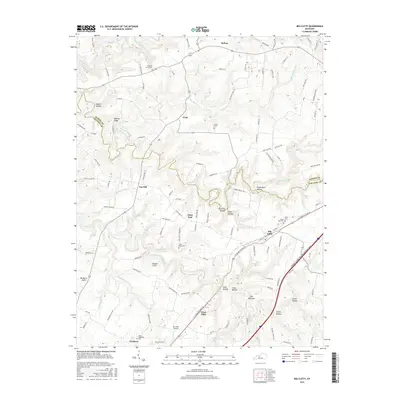
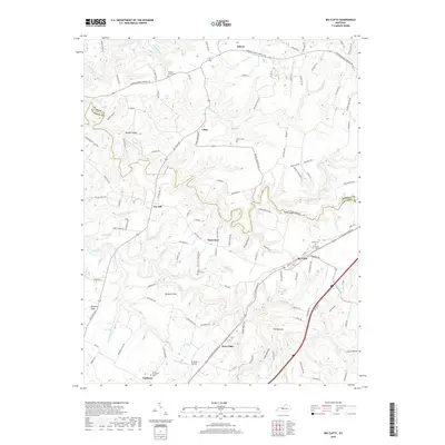
1949 Map of Big Clifty
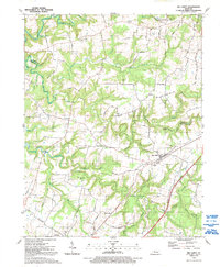
USGS Topo · Published 1959About this map
Rough River and Nolin River wind through this mid-century landscape of west-central Kentucky, marking the rural development of Grayson and Hardin counties. The area is defined by a dense network of country schools and houses of worship, such as Sand Ridge Sch and the Mt Olive Cumberland Ch, which served small farming communities like Franklin Crossroads and Constantine. The Illinois Central railroad cuts through the southern terrain, connecting Big Clifty with Stephensburg and sustaining the local economies of White Mills and Harcourt. This period showcases a transition from traditional water-powered sites like Pierce Mill and Webb Mills to industrial extraction at Blueball Quarry. For genealogists, the map preserves the locations of many family-named landmarks and resting places, including St Elizabeth Cem and Blueball Hill Cem, offering a clear view of the social geography before modern infrastructure expansion.
Find a feature on this map
89 named features on this map. Tap any name to fly to it.
Don’t see what you’re looking for? This feature index may not catch every label — zoom into the map to look around manually.
Map Details
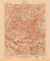
Editions of this 1949 Big Clifty Map
This is the sole edition of this map. No revisions or reprints were ever made.
Historical Maps of Clarkson Through Time
11 maps found
1932 Big Clifty
Grayson County, KY
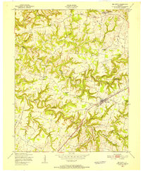
1949 Big Clifty
Grayson County, KY
1949 Big Clifty
Grayson County, KY
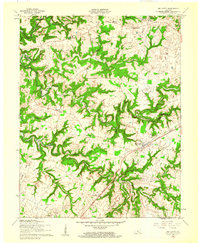
1960 Big Clifty
Grayson County, KY
1972 Big Clifty
Grayson County, KY
1991 Big Clifty
Grayson County, KY
2010 Big Clifty
Grayson County, KY
2013 Big Clifty
Grayson County, KY
2016 Big Clifty
Grayson County, KY
2019 Big Clifty
Grayson County, KY
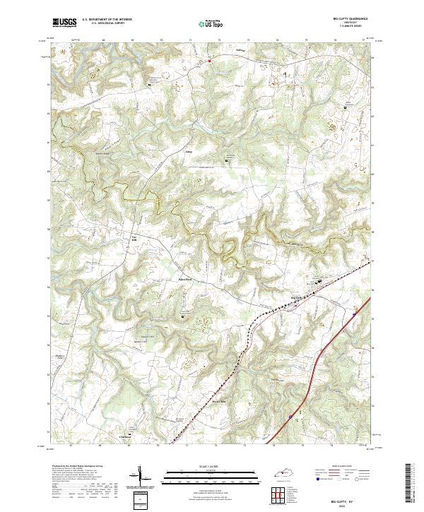
2022 Big Clifty
Grayson County, KY