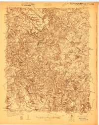
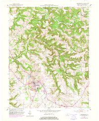
1928 Map of Hardinsburg
USGS Topo · Published 1928About this map
Hardinsburg serves as the central hub of this 1928 survey, showing a landscape defined by the drainage of Sinking Creek and the Ohio River at Manning Crossing. The era's transportation network is anchored by the Louisville Henderson and St Louis Ry and the Dixie Highway, which connects the larger settlements of Irvington and Garfield.
Find a feature on this map
58 named features on this map. Tap any name to fly to it.
Don’t see what you’re looking for? This feature index may not catch every label — zoom into the map to look around manually.
Map Details
Editions of this 1928 Hardinsburg Map
This is the sole edition of this map. No revisions or reprints were ever made.
Historical Maps of Hardinsburg Through Time
11 maps found
1928 Hardinsburg
Breckinridge County, KY
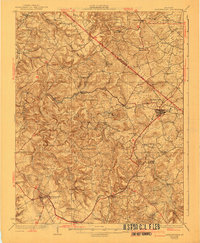
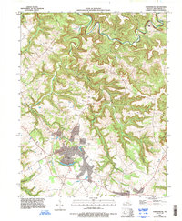
1931 Hardinsburg
Breckinridge County, KY
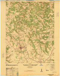
1947 Hardinsburg
Breckinridge County, KY
1947 Hardinsburg
Breckinridge County, KY
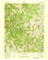
1953 Hardinsburg
Breckinridge County, KY
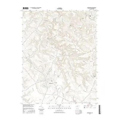
1993 Hardinsburg
Breckinridge County, KY

2010 Hardinsburg
Breckinridge County, KY

2013 Hardinsburg
Breckinridge County, KY
2016 Hardinsburg
Breckinridge County, KY

2019 Hardinsburg
Breckinridge County, KY
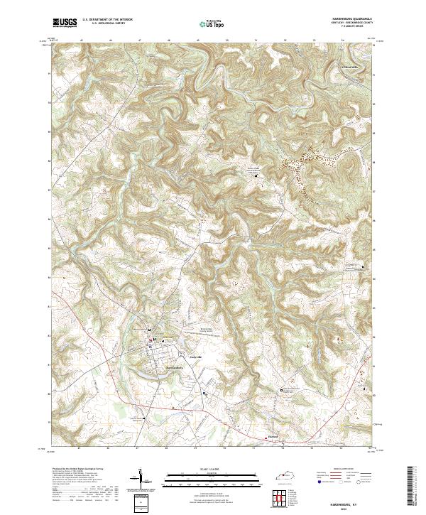
2022 Hardinsburg
Breckinridge County, KY