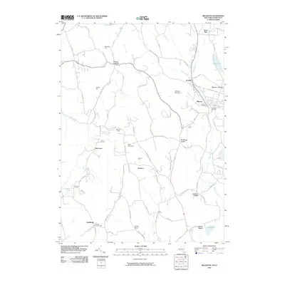
2010 Map of Millerton
USGS Topo · Published 2010About this map
Millerton serves as a focal point in this New York-Connecticut borderland, where the village center houses the North East Post Office and sits just south of Irondale. The landscape is a network of small agricultural settlements and family-named homesteads such as Silamar Farm and Driftways Farm, connected by winding roads like Skunks Misery Rd and Silver Mountain Rd. Waterways define the valley floors, with Webatuck Creek and Shekomeko Creek carving paths through the terrain near peaks such as Winchell Mountain and Silver Mountain.
Find a feature on this map
83 named features on this map. Tap any name to fly to it.
Don’t see what you’re looking for? This feature index may not catch every label — zoom into the map to look around manually.
Map Details
Editions of this 2010 Millerton Map
This is the sole edition of this map. No revisions or reprints were ever made.
Other maps of this area

1885 · Sheffield
USGS Topo · 1:62,500

1888 · Sheffield
USGS Topo · 1:62,500

1891 · Sheffield
USGS Topo · 1:62,500

1892 · Cornwall
USGS Topo · 1:62,500

1893 · Sheffield
USGS Topo · 1:62,500

1893 · Cornwall
USGS Topo · 1:62,500

1897 · Sheffield
USGS Topo · 1:62,500

1899 · Housatonic
USGS Topo · 1:125,000

1899 · Millbrook
USGS Topo · 1:62,500

1900 · Housatonic
USGS Topo · 1:125,000