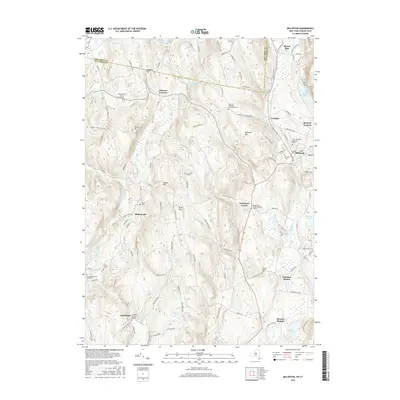
2016 Map of Millerton
USGS Topo · Published 2016About this map
Millerton and its neighboring hamlets sit at the nexus of eastern Dutchess County, New York, and the Connecticut border, shaped by the waters of Webatuck Cr and Sawmill Brook. This modern survey reveals a landscape where historical burial practices are remarkably well-preserved across diverse family and community sites, such as the Knickerbocker Burial Ground and the Thompson Family Graveyard. The topography is defined by significant rises like Winchell Mtn and Silver Mtn, which frame the valley settlements of Irondale and Spencer Corners. Further south, the map documents the rural character of Shekomeko and Smithfield, locations where the Smithfield Burying Grounds and Bryan Cem mark early settlement roots. The presence of both Coleman Station and Sharon Station indicates the legacy of rail transport through this corridor, connecting the dairy and agricultural lands of the Harlem Valley to the broader region.
Find a feature on this map
108 named features on this map. Tap any name to fly to it.
Don’t see what you’re looking for? This feature index may not catch every label — zoom into the map to look around manually.
Map Details
Editions of this 2016 Millerton Map
This is the sole edition of this map. No revisions or reprints were ever made.
Other maps of this area

1885 · Sheffield
USGS Topo · 1:62,500

1888 · Sheffield
USGS Topo · 1:62,500

1891 · Sheffield
USGS Topo · 1:62,500

1892 · Cornwall
USGS Topo · 1:62,500

1893 · Sheffield
USGS Topo · 1:62,500

1893 · Cornwall
USGS Topo · 1:62,500

1897 · Sheffield
USGS Topo · 1:62,500

1899 · Housatonic
USGS Topo · 1:125,000

1899 · Millbrook
USGS Topo · 1:62,500

1900 · Housatonic
USGS Topo · 1:125,000