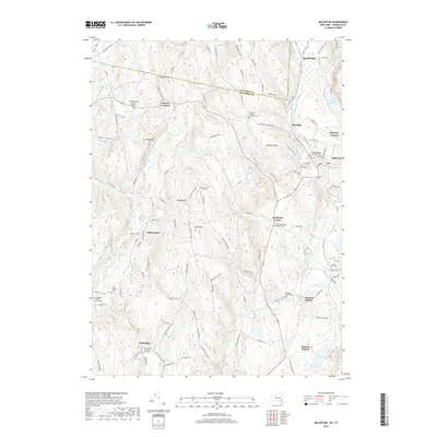
2019 Map of Millerton
USGS Topo · Published 2019About this map
Millerton and its surrounding hamlets occupy a landscape shaped by the ridge of Winchell Mtn and the waters of Webatuck Cr. This northeastern corner of Dutchess County, at the junction of the New York and Connecticut borders, is notably dense with early family burial sites and community cemeteries. From the Knickerbocker Burial Ground in the north to the Thompson Family Graveyard near Smithfield, these locations offer a tangible link to the area's agricultural and early industrial roots.
Find a feature on this map
113 named features on this map. Tap any name to fly to it.
Don’t see what you’re looking for? This feature index may not catch every label — zoom into the map to look around manually.
Map Details
Editions of this 2019 Millerton Map
This is the sole edition of this map. No revisions or reprints were ever made.
Other maps of this area

1885 · Sheffield
USGS Topo · 1:62,500

1888 · Sheffield
USGS Topo · 1:62,500

1891 · Sheffield
USGS Topo · 1:62,500

1892 · Cornwall
USGS Topo · 1:62,500

1893 · Sheffield
USGS Topo · 1:62,500

1893 · Cornwall
USGS Topo · 1:62,500

1897 · Sheffield
USGS Topo · 1:62,500

1899 · Housatonic
USGS Topo · 1:125,000

1899 · Millbrook
USGS Topo · 1:62,500

1900 · Housatonic
USGS Topo · 1:125,000