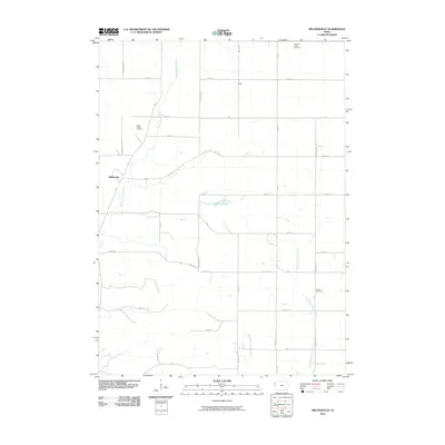
2010 Map of Millnerville
USGS Topo · Published 2010About this map
Millnerville and the smaller settlement of Furay anchor this agricultural landscape in the northwestern corner of Iowa. The map reveals a highly structured section-line road network typical of the Great Plains, where routes like Dogwood Ave and Evergreen Ave intersect with numbered east-west corridors. Small cemeteries such as the Mills Family Cemetery, Liberty Cemetery, and Pleasant Valley Cemetery are scattered throughout the quadrangle, serving as vital markers for local genealogical research and family history.
Find a feature on this map
30 named features on this map. Tap any name to fly to it.
Don’t see what you’re looking for? This feature index may not catch every label — zoom into the map to look around manually.
Map Details
Editions of this 2010 Millnerville Map
This is the sole edition of this map. No revisions or reprints were ever made.
Other maps of this area

1898 · Elk Point
USGS Topo · 1:125,000

1901 · Elk Point
USGS Topo · 1:125,000

1907 · Elk Point
USGS Topo · 1:125,000

1955 · Sioux City
USGS Topo · 1:250,000

1958 · Sioux City
USGS Topo · 1:250,000

1959 · Sioux City
USGS Topo · 1:250,000

1963 · Sioux City North
USGS Topo · 1:24,000

1963 · Elk Point NE
USGS Topo · 1:24,000

1963 · Jefferson
USGS Topo · 1:24,000

1964 · James
USGS Topo · 1:24,000