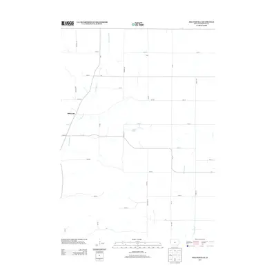
2013 Map of Millnerville
USGS Topo · Published 2013About this map
Millnerville and the small settlement of Furay anchor this rural Plymouth County landscape, where the drainage patterns of the Loess Hills define the local geography. The area is characterized by a network of winding waterways, most notably Broken Kettle Cr and its tributary Deer Cr, which carve through the terrain. In the central portion of the quadrangle, Pavlik Lakes provides a rare localized water feature amidst the agricultural sections. The map reveals a strictly rectangular grid of county roads and avenues, such as Dogwood Ave and Evergreen Ave, that overlay the irregular natural paths of W Br Perry Cr and Perry Cr in the east. This 2013 survey illustrates the enduring intersection of Iowa's structured section-line road system with the fluid topography of its northwestern creek valleys.
Find a feature on this map
35 named features on this map. Tap any name to fly to it.
Don’t see what you’re looking for? This feature index may not catch every label — zoom into the map to look around manually.
Map Details
Editions of this 2013 Millnerville Map
This is the sole edition of this map. No revisions or reprints were ever made.
Other maps of this area

1898 · Elk Point
USGS Topo · 1:125,000

1901 · Elk Point
USGS Topo · 1:125,000

1907 · Elk Point
USGS Topo · 1:125,000

1955 · Sioux City
USGS Topo · 1:250,000

1958 · Sioux City
USGS Topo · 1:250,000

1959 · Sioux City
USGS Topo · 1:250,000

1963 · Sioux City North
USGS Topo · 1:24,000

1963 · Elk Point NE
USGS Topo · 1:24,000

1963 · Jefferson
USGS Topo · 1:24,000

1964 · James
USGS Topo · 1:24,000