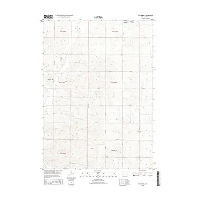
2015 Map of Millnerville
USGS Topo · Published 2015About this map
Millnerville and Adaville anchor this survey of Plymouth County, where the landscape is defined by the drainage basins of several prominent local waterways. The terrain is marked by the winding courses of Broken Kettle Cr and Deer Cr in the west, while the eastern section is carved by the W Br Perry Cr. For those tracing local family history, several burial sites are clearly identified across the townships, including the Mills Family Cem, Pleasant Valley Cem, and Liberty Cem. The section lines and gravel roads create a rhythmic grid typical of the region, punctuated by localized features like Pavlik Lakes. This documentation provides a clear view of the rural infrastructure and land divisions that have persisted through the early twenty-first century in this part of Northwest Iowa.
Find a feature on this map
38 named features on this map. Tap any name to fly to it.
Don’t see what you’re looking for? This feature index may not catch every label — zoom into the map to look around manually.
Map Details
Editions of this 2015 Millnerville Map
This is the sole edition of this map. No revisions or reprints were ever made.
Other maps of this area

1898 · Elk Point
USGS Topo · 1:125,000

1901 · Elk Point
USGS Topo · 1:125,000

1907 · Elk Point
USGS Topo · 1:125,000

1955 · Sioux City
USGS Topo · 1:250,000

1958 · Sioux City
USGS Topo · 1:250,000

1959 · Sioux City
USGS Topo · 1:250,000

1963 · Sioux City North
USGS Topo · 1:24,000

1963 · Elk Point NE
USGS Topo · 1:24,000

1963 · Jefferson
USGS Topo · 1:24,000

1964 · James
USGS Topo · 1:24,000