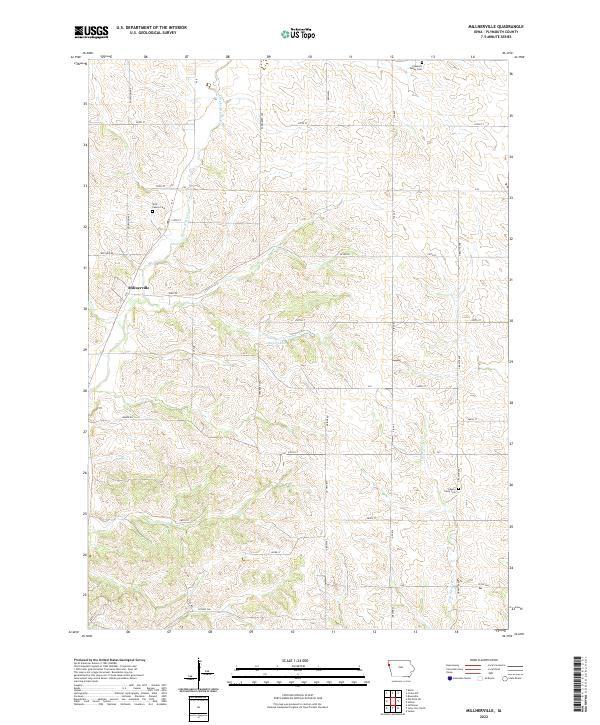
2022 Map of Millnerville
USGS Topo · Published 2022About this map
The small settlement of Millnerville serves as the focal point for this rural Plymouth County landscape, where the land is carved by the winding course of Broken-kettle Cr. The map reveals a deeply personal history through its cemeteries, including the Mills Family Cem and Liberty Perry Cem, suggesting long-standing family ties to these sections. The presence of Pleasant Valley Cem in the north and the cluster of Pavlik Lakes further south indicate a community oriented around small-scale water features and ancestral grounds. Navigated by a grid of county roads like Dogwood Ave and S Ridge Rd, the area maintains a strictly agrarian character. This topography reflects the transition between the loess hills drainage and the flatter farmland of the Iowa interior, where small creeks like Deer Cr have shaped the local road placement.
Find a feature on this map
41 named features on this map. Tap any name to fly to it.
Don’t see what you’re looking for? This feature index may not catch every label — zoom into the map to look around manually.
Map Details
Editions of this 2022 Millnerville Map
This is the sole edition of this map. No revisions or reprints were ever made.
Other maps of this area

1898 · Elk Point
USGS Topo · 1:125,000

1901 · Elk Point
USGS Topo · 1:125,000

1907 · Elk Point
USGS Topo · 1:125,000

1955 · Sioux City
USGS Topo · 1:250,000

1958 · Sioux City
USGS Topo · 1:250,000

1959 · Sioux City
USGS Topo · 1:250,000

1963 · Sioux City North
USGS Topo · 1:24,000

1963 · Elk Point NE
USGS Topo · 1:24,000

1963 · Jefferson
USGS Topo · 1:24,000

1964 · James
USGS Topo · 1:24,000