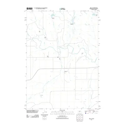
2011 Map of Mills
USGS Topo · Published 2011About this map
The settlement of Mills sits near the winding Keya Paha River in this northern Nebraska landscape. This 2011 survey illustrates a region defined by water management and ranching infrastructure along the South Dakota border, anchored by the Mills Post Office and the nearby Olive Branch Cemetery. The terrain is marked by numerous small-scale reservoirs and dams, including Rowan Dam and Peterson Dam Number 2, which suggest a localized economy dependent on seasonal flow from tributaries like Spring Creek and Coon Creek.
Find a feature on this map
20 named features on this map. Tap any name to fly to it.
Don’t see what you’re looking for? This feature index may not catch every label — zoom into the map to look around manually.
Map Details
Editions of this 2011 Mills Map
This is the sole edition of this map. No revisions or reprints were ever made.
Other maps of this area

1949 · Jamison SW
USGS Topo · 1:24,000

1950 · Mariaville
USGS Topo · 1:24,000

1951 · Jamison SW
USGS Topo · 1:24,000

1955 · Mitchell
USGS Topo · 1:250,000

1955 · O'Neill
USGS Topo · 1:250,000

1959 · O'Neill
USGS Topo · 1:250,000

1959 · Mitchell
USGS Topo · 1:250,000

1964 · Gregory SE
USGS Topo · 1:24,000

1964 · Mills
USGS Topo · 1:24,000

1964 · Paxton
USGS Topo · 1:24,000