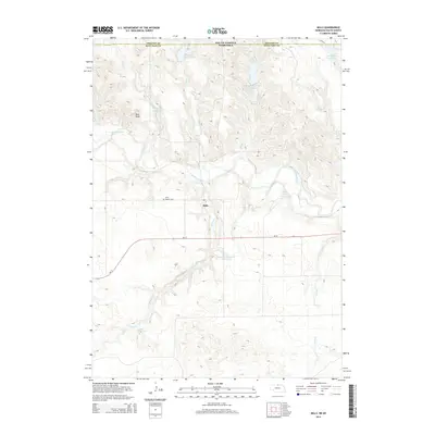
2014 Map of Mills
USGS Topo · Published 2014About this map
The Keya Paha River winds through this northern Nebraska landscape, marking a terrain defined by deep creek drainages and a network of private water management. The small community of Mills serves as the local anchor near the river, situated just north of the Ne-12 highway. Genealogists will find the Olive Branch Cem located west of the settlement, a significant local landmark for tracing family history in Keya Paha County.
Find a feature on this map
21 named features on this map. Tap any name to fly to it.
Don’t see what you’re looking for? This feature index may not catch every label — zoom into the map to look around manually.
Map Details
Editions of this 2014 Mills Map
This is the sole edition of this map. No revisions or reprints were ever made.
Other maps of this area

1949 · Jamison SW
USGS Topo · 1:24,000

1950 · Mariaville
USGS Topo · 1:24,000

1951 · Jamison SW
USGS Topo · 1:24,000

1955 · Mitchell
USGS Topo · 1:250,000

1955 · O'Neill
USGS Topo · 1:250,000

1959 · O'Neill
USGS Topo · 1:250,000

1959 · Mitchell
USGS Topo · 1:250,000

1964 · Gregory SE
USGS Topo · 1:24,000

1964 · Mills
USGS Topo · 1:24,000

1964 · Paxton
USGS Topo · 1:24,000