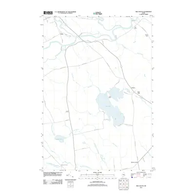
2011 Map of Milo South
USGS Topo · Published 2011About this map
The confluence of the Sebec River, Piscataquis River, and Pleasant River anchors this Maine landscape, where the settlement of Derby sits at a critical bend in the waterways. The presence of several historic burial grounds, including the Upper Ferry Cemetery, Orneville Cemetery, and Greenwood Cemetery, provides essential markers for local genealogical research across the rural townships. The river systems are central to the geography here, with the Piscataquis River flowing through the northern section, while the sprawling waters of Boyd Lake dominate the central terrain, featuring Cook Island and several small tributaries like Amy's Trib.
Find a feature on this map
53 named features on this map. Tap any name to fly to it.
Don’t see what you’re looking for? This feature index may not catch every label — zoom into the map to look around manually.
Map Details
Editions of this 2011 Milo South Map
This is the sole edition of this map. No revisions or reprints were ever made.
Other maps of this area
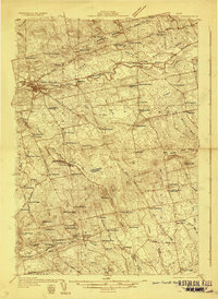
1932 · Dover-Foxcroft
USGS Topo · 1:48,000
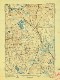
1933 · Boyd Lake
USGS Topo · 1:62,500
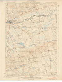
1935 · Dover-Foxcroft
USGS Topo · 1:62,500
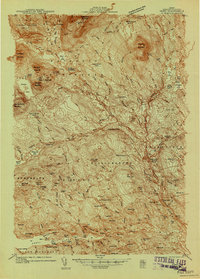
1940 · Sebec
USGS Topo · 1:48,000
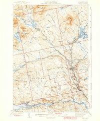
1943 · Sebec
USGS Topo · 1:62,500
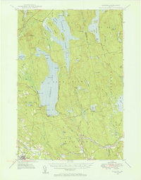
1947 · Schoodic
USGS Topo · 1:62,500
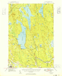
1949 · Schoodic
USGS Topo · 1:62,500
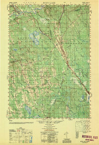
1951 · Boyd Lake
USGS Topo · 1:50,000

1954 · Millinocket
USGS Topo · 1:250,000
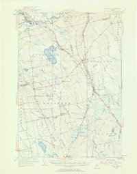
1955 · Boyd Lake
USGS Topo · 1:62,500