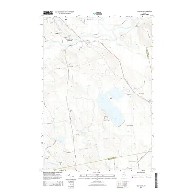
2014 Map of Milo South
USGS Topo · Published 2014About this map
The confluence of the Sebec River, Piscataquis River, and Pleasant River anchors the northern portion of this Maine landscape, where the settlement of Milo transitions into the industrial rail siding at Derby. Moving south, the terrain is defined by the expansive waters of Boyd Lake and its central Cook Island. Local history is preserved in several small burial grounds scattered across the countryside, including the Upper Ferry Cem near the riverbanks and the Orneville Cem further inland. The map details a network of rural routes such as Lyford Rd and Boyd Lake Rd that connect isolated outposts like Parkers and Storers Corner. This 2014 survey documents the enduring hydraulic character of the region, from the winding path of Stinking Brook to the marshes surrounding Dead Stream and Beaver Brook.
Find a feature on this map
60 named features on this map. Tap any name to fly to it.
Don’t see what you’re looking for? This feature index may not catch every label — zoom into the map to look around manually.
Map Details
Editions of this 2014 Milo South Map
This is the sole edition of this map. No revisions or reprints were ever made.
Other maps of this area

1932 · Dover-Foxcroft
USGS Topo · 1:48,000

1933 · Boyd Lake
USGS Topo · 1:62,500

1935 · Dover-Foxcroft
USGS Topo · 1:62,500

1940 · Sebec
USGS Topo · 1:48,000

1943 · Sebec
USGS Topo · 1:62,500

1947 · Schoodic
USGS Topo · 1:62,500

1949 · Schoodic
USGS Topo · 1:62,500

1951 · Boyd Lake
USGS Topo · 1:50,000

1954 · Millinocket
USGS Topo · 1:250,000

1955 · Boyd Lake
USGS Topo · 1:62,500