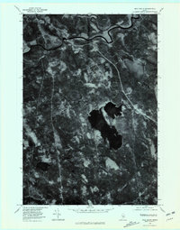
1978 Map of Milo South
USGS Topo · Published 1981About this map
The confluence of several major waterways characterizes this central Maine landscape, where the Sebec River and Pleasant River both feed into the larger Piscataquis River. In the late 1970s, the community of Milo and the nearby settlement of Derby served as the primary hubs of activity in this wooded region. The orthophoto imagery reveals a complex network of forest clearings and riparian corridors, punctuated by significant water bodies like the sprawling Boyd Lake to the east and the smaller Pleasant Pond in the southwest.
Find a feature on this map
10 named features on this map. Tap any name to fly to it.
Don’t see what you’re looking for? This feature index may not catch every label — zoom into the map to look around manually.
Map Details
Editions of this 1978 Milo South Map
This is the sole edition of this map. No revisions or reprints were ever made.
Other maps of this area

1932 · Dover-Foxcroft
USGS Topo · 1:48,000

1933 · Boyd Lake
USGS Topo · 1:62,500

1935 · Dover-Foxcroft
USGS Topo · 1:62,500

1940 · Sebec
USGS Topo · 1:48,000

1943 · Sebec
USGS Topo · 1:62,500

1947 · Schoodic
USGS Topo · 1:62,500

1949 · Schoodic
USGS Topo · 1:62,500

1951 · Boyd Lake
USGS Topo · 1:50,000

1954 · Millinocket
USGS Topo · 1:250,000

1955 · Boyd Lake
USGS Topo · 1:62,500