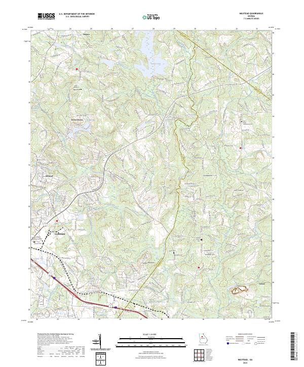
2024 Map of Milstead
USGS Topo · Published 2024About this map
The Yellow River cuts a prominent diagonal across this portion of northern Georgia, serving as a geographic anchor for the surrounding communities of Milstead, Conyers, and Oxford. This modern landscape is defined by its transition from the more densely developed urban corridors of Rockdale County to the rolling terrain near Griffin Mountain. The map details a complex network of water bodies, including Dials Millpond, Hi-Roc Lake, and Sheppards Lake, which indicate the region's managed water resources and residential development patterns. For family historians, the sheet is particularly valuable for its precise location of several rural burial grounds, such as Gum Creek Presbyterian Cem and Almand Cem, alongside smaller settlements like Zingara and Lola Landing. The interaction of the various creek systems—such as Big Haynes Creek and Gum Creek—illustrates the natural drainage that historically dictated the placement of early mills and homesteads in the area.
Find a feature on this map
226 named features on this map. Tap any name to fly to it.
Don’t see what you’re looking for? This feature index may not catch every label — zoom into the map to look around manually.
Map Details
Editions of this 2024 Milstead Map
This is the sole edition of this map. No revisions or reprints were ever made.
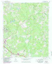
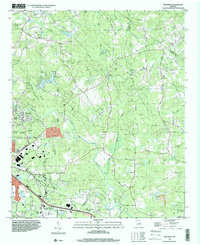
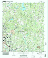
Historical Maps of Spring Valley Through Time
4 maps found