Loading...
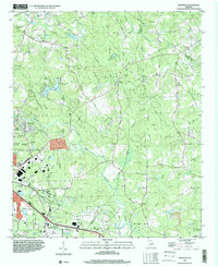
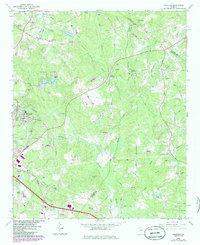
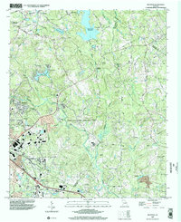
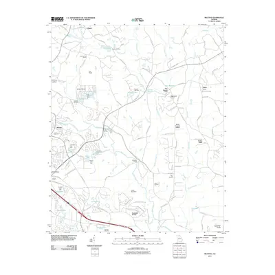
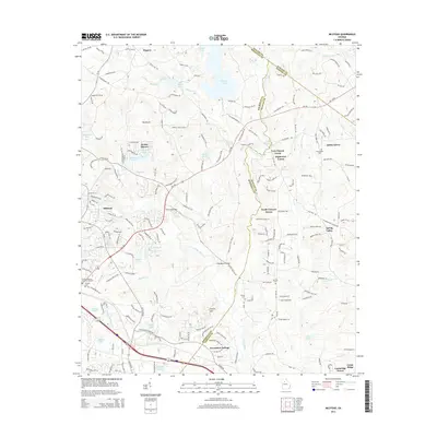
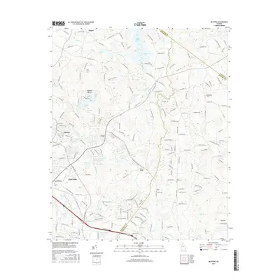
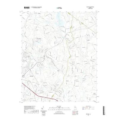
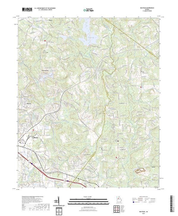
Loading map...1993 Map of Milstead
USGS Topo · Published 2000About this map
The Yellow River winds through this landscape, defining the topography south of Zingara and east of Conyers. In the early 1990s, the area retained a mix of its rural character and growing suburban infrastructure, anchored by several long-standing community centers. The northern portion is marked by historical landmarks such as the Hightower Indian Trail Monument and a network of country churches including Philadelphia Ch and Double Springs Ch.
Find a feature on this map
61 named features on this map. Tap any name to fly to it.
Don’t see what you’re looking for? This feature index may not catch every label — zoom into the map to look around manually.
Map Details
Date Portrayed1993
Date Published2000
PublisherU.S. Geological Survey
Map TypeTopographic
Scale1:24,000
Physical Dimensions22 x 26.9 inches
Editions of this 1993 Milstead Map
This is the sole edition of this map. No revisions or reprints were ever made.
Historical Maps of Conyers Through Time
8 maps found
Featured Locations
Source Details
SourceU.S. Geological Survey
CopyrightPublic Domain