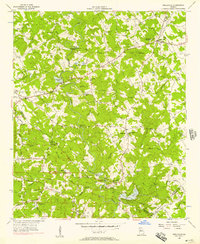
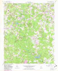
1956 Map of Snellville
USGS Topo · Published 1957About this map
Snellville and the surrounding rural crossroads of Gwinnett and DeKalb counties are captured during a period of steady agrarian life before the mid-century suburban expansion of Atlanta. The Yellow River winds deeply through the center of the sheet, characterized by sharp turns like Horseshoe Bend and historical crossings at McDaniels Bridge and Annistown Bridge. This landscape is densely dotted with the markers of a communal history, including numerous country churches such as Zoar Ch and Rock Bridge Ch, and small educational centers like Shiloh Sch. Notable elevations like Snellville Mountain and Lanier Mountain rise above the drainage basins of Centerville Creek and Turkey Creek. The map records a network of established roads and trails, including the historical Hightower Trail, which once served as a significant boundary and travel route through the region.
Find a feature on this map
66 named features on this map. Tap any name to fly to it.
Don’t see what you’re looking for? This feature index may not catch every label — zoom into the map to look around manually.
Map Details
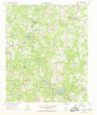
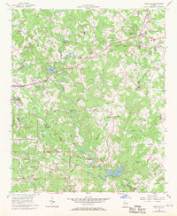
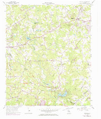
Editions of this 1956 Snellville Map
5 editions found
Other maps of this area

1888 · Atlanta
USGS Topo · 1:125,000

1890 · Atlanta
USGS Topo · 1:125,000

1892 · Atlanta
USGS Topo · 1:125,000

1895 · Atlanta
USGS Topo · 1:125,000

1896 · Monroe
USGS Topo · 1:125,000

1953 · Atlanta
USGS Topo · 1:250,000

1953 · Athens
USGS Topo · 1:250,000
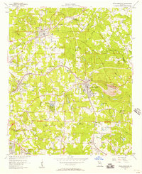
1956 · Stone Mountain
USGS Topo · 1:24,000
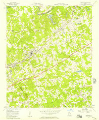
1956 · Norcross
USGS Topo · 1:24,000
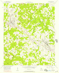
1956 · Conyers
USGS Topo · 1:24,000