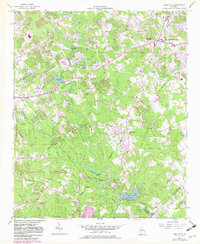
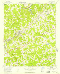
1956 Map of Snellville
USGS Topo · Published 1983About this map
Snellville and the surrounding Gwinnett County countryside are shown here during a period of transition, originally mapped in the mid-1950s with significant updates from the early 1980s. The landscape is defined by the headwaters and tributaries of several drainage systems, including Hate Creek and Garner Creek to the west, and the winding Jacks Creek further south. The settlement at Centerville serves as a secondary focal point, surrounded by woodland and small water features like Edwards Lakes and Opossum Lake. This 1982 photorevised update illustrates the intensifying residential and commercial patterns that began to reshape this part of Georgia, while still retaining the original survey's detailed topography of the Weed Branch and local land divisions.
Find a feature on this map
9 named features on this map. Tap any name to fly to it.
Don’t see what you’re looking for? This feature index may not catch every label — zoom into the map to look around manually.
Map Details
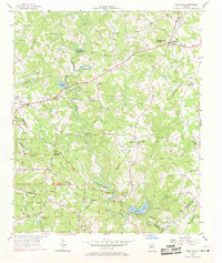
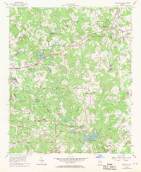
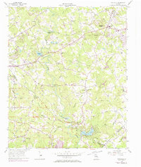
Editions of this 1956 Snellville Map
5 editions found
Other maps of this area

1888 · Atlanta
USGS Topo · 1:125,000

1890 · Atlanta
USGS Topo · 1:125,000

1892 · Atlanta
USGS Topo · 1:125,000

1895 · Atlanta
USGS Topo · 1:125,000

1896 · Monroe
USGS Topo · 1:125,000

1953 · Atlanta
USGS Topo · 1:250,000

1953 · Athens
USGS Topo · 1:250,000

1956 · Stone Mountain
USGS Topo · 1:24,000

1956 · Snellville
USGS Topo · 1:24,000
1956 · Norcross
USGS Topo · 1:24,000