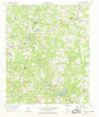
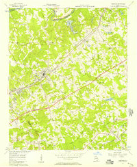
1956 Map of Snellville
USGS Topo · Published 1969About this map
The Yellow River carves a deep valley through this Gwinnett County landscape, marked by significant geographic features like Horseshoe Bend and Britt Shoals. In the mid-1950s, Snellville serves as a central hub, with roads like Northside Drive and Wisteria Drive radiating from the town center. The map captures a transition from rural homesteads to more established communities, evidenced by the numerous family-named landmarks such as McDaniels Bluff and Lanier Mountain.
Find a feature on this map
73 named features on this map. Tap any name to fly to it.
Don’t see what you’re looking for? This feature index may not catch every label — zoom into the map to look around manually.
Map Details
Editions of this 1956 Snellville Map
5 editions found
Other maps of this area

1888 · Atlanta
USGS Topo · 1:125,000

1890 · Atlanta
USGS Topo · 1:125,000

1892 · Atlanta
USGS Topo · 1:125,000

1895 · Atlanta
USGS Topo · 1:125,000

1896 · Monroe
USGS Topo · 1:125,000

1953 · Atlanta
USGS Topo · 1:250,000

1953 · Athens
USGS Topo · 1:250,000

1956 · Stone Mountain
USGS Topo · 1:24,000

1956 · Snellville
USGS Topo · 1:24,000
1956 · Norcross
USGS Topo · 1:24,000