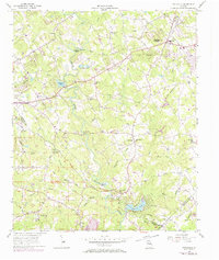
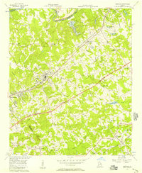
1956 Map of Snellville
USGS Topo · Published 1974About this map
The Yellow River winds through the heart of this Gwinnett County landscape, creating a distinct physical boundary and historical corridor for small communities like Snellville and Centerville. In the mid-1950s, this area remained largely rural, defined by a dense network of family-named cemeteries and small congregations such as Grace Ch, Bethany Ch, and Lenora Ch. The terrain is punctuated by significant elevations including Snellville Mountain and Lanier Mountain, while the southern reaches of the map show the emerging recreational and residential shifts at Norris Lake and Edwards Lakes. Cultural landmarks like the ancient Hightower Trail and the Rock Chapel area offer a view into the region's long-established settlement patterns. This survey also records numerous rural institutions, from the Shiloh Sch to the New Bethel Sch, which served as the social anchors for this Piedmont landscape before the late-20th-century suburban expansion.
Find a feature on this map
68 named features on this map. Tap any name to fly to it.
Don’t see what you’re looking for? This feature index may not catch every label — zoom into the map to look around manually.
Map Details
Editions of this 1956 Snellville Map
5 editions found
Other maps of this area

1888 · Atlanta
USGS Topo · 1:125,000

1890 · Atlanta
USGS Topo · 1:125,000

1892 · Atlanta
USGS Topo · 1:125,000

1895 · Atlanta
USGS Topo · 1:125,000

1896 · Monroe
USGS Topo · 1:125,000

1953 · Atlanta
USGS Topo · 1:250,000

1953 · Athens
USGS Topo · 1:250,000

1956 · Stone Mountain
USGS Topo · 1:24,000

1956 · Snellville
USGS Topo · 1:24,000
1956 · Norcross
USGS Topo · 1:24,000