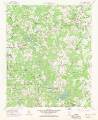
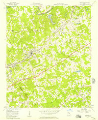
1956 Map of Snellville
USGS Topo · Published 1970About this map
Snellville and the surrounding Gwinnett County countryside are shown here at a moment of significant transition, with 1968 aerial revisions overlaid on the original 1956 topography. The Yellow River snakes through the center of the sheet, carving notable features like Horseshoe Bend and McDaniels Bluff. This era captures a landscape of small agricultural communities and rural school districts before the heavy suburbanization of the late 20th century.
Find a feature on this map
54 named features on this map. Tap any name to fly to it.
Don’t see what you’re looking for? This feature index may not catch every label — zoom into the map to look around manually.
Map Details
Editions of this 1956 Snellville Map
5 editions found
Other maps of this area

1888 · Atlanta
USGS Topo · 1:125,000

1890 · Atlanta
USGS Topo · 1:125,000

1892 · Atlanta
USGS Topo · 1:125,000

1895 · Atlanta
USGS Topo · 1:125,000

1896 · Monroe
USGS Topo · 1:125,000

1953 · Atlanta
USGS Topo · 1:250,000

1953 · Athens
USGS Topo · 1:250,000

1956 · Stone Mountain
USGS Topo · 1:24,000

1956 · Snellville
USGS Topo · 1:24,000
1956 · Norcross
USGS Topo · 1:24,000