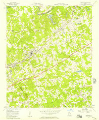
1956 Map of Norcross
USGS Topo · Published 1957About this map
The Chattahoochee River forms the northwestern boundary of this mid-1950s landscape, just as major infrastructure began to reshape the region. The map shows the Atlanta Expressway Under Construction, a massive project cutting through the traditional landscape of small settlements like Norcross, Lilburn, and Duluth. The transition from rural to suburban is evident, with older landmarks like the Shiloh Ch, Mt Carmel Ch, and the Graham Cem still serving as local anchors. Long-established transportation corridors define the area, including the Southern Railway and Seaboard Air Line, which parallel the growing network of paved and unimproved roads. Further south, smaller communities such as Mechanicsville and Pittsburg appear alongside various water bodies like Beaver Ruin Creek and Freeman Lake, illustrating a terrain defined by ridges and stream valleys before the onset of heavy residential development.
Find a feature on this map
48 named features on this map. Tap any name to fly to it.
Don’t see what you’re looking for? This feature index may not catch every label — zoom into the map to look around manually.
Map Details
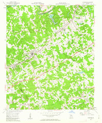
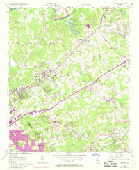
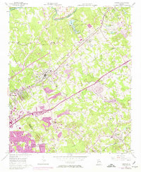
Editions of this 1956 Norcross Map
4 editions found
Other maps of this area

1888 · Atlanta
USGS Topo · 1:125,000

1890 · Suwanee
USGS Topo · 1:125,000

1890 · Atlanta
USGS Topo · 1:125,000

1892 · Atlanta
USGS Topo · 1:125,000

1894 · Suwanee
USGS Topo · 1:125,000

1895 · Atlanta
USGS Topo · 1:125,000

1953 · Atlanta
USGS Topo · 1:250,000

1954 · Chamblee
USGS Topo · 1:24,000

1954 · Decatur
USGS Topo · 1:24,000

1955 · Rome
USGS Topo · 1:250,000