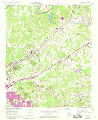
1956 Map of Norcross
USGS Topo · Published 1969About this map
The Chattahoochee River forms the northwestern boundary of this survey, where the landscape of Gwinnett County begins its transition from rural Piedmont terrain to a suburban corridor. The historic town center of Norcross and the village of Lilburn are anchored by the Southern Railway and Seaboard Coast Line, respectively. Purple revisions from 1968 highlight the dramatic arrival of the Northeast Expressway, which cuts diagonally across the drainage basins of Beaver Ruin Creek and Sweetwater Creek. This infrastructure marks the era when old crossroads like Adams Crossroads and smaller settlements such as Mechanicsville and Pittsburg were first meeting modern transit. Local genealogy is well-preserved through numerous landmarks, including Mt Carmel Cem, Gresham Cem, and several rural congregations like Shiloh Ch and Harmony Grove Ch. The map also captures mid-century social markers like a Drive-in Theater and the development of Berkeley Lake.
Find a feature on this map
40 named features on this map. Tap any name to fly to it.
Don’t see what you’re looking for? This feature index may not catch every label — zoom into the map to look around manually.
Map Details
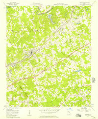
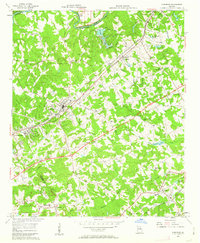
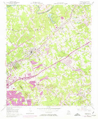
Editions of this 1956 Norcross Map
4 editions found
Other maps of this area

1888 · Atlanta
USGS Topo · 1:125,000

1890 · Suwanee
USGS Topo · 1:125,000

1890 · Atlanta
USGS Topo · 1:125,000

1892 · Atlanta
USGS Topo · 1:125,000

1894 · Suwanee
USGS Topo · 1:125,000

1895 · Atlanta
USGS Topo · 1:125,000

1953 · Atlanta
USGS Topo · 1:250,000

1954 · Chamblee
USGS Topo · 1:24,000

1954 · Decatur
USGS Topo · 1:24,000

1955 · Rome
USGS Topo · 1:250,000