
1956 Map of Conyers
USGS Topo · Published 1957About this map
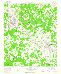
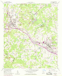
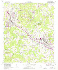
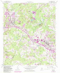
Lithonia and Conyers anchor this mid-century survey of the Georgia Piedmont, connected by the vital corridor of the Georgia RR. The landscape is a mix of industrial extraction and rural community life, defined by numerous Granite Quarries that tap into the region's geological foundations near prominent elevations like Arabia Mtn and Pine Mountain. Between these granite outcroppings, a network of country roads like Klondike Road and Hightower Trail links established congregations such as Philadelphia Ch and Union Grove Ch. The Yellow River winds through the central terrain, its course interrupted by several small impoundments including Lake Rockaway and Gaines Lake. These water bodies and the emerging residential features, such as a Drive-in Theater near Conyers, signal the post-war transition of these former railroad towns into expanding suburban communities within the reach of Atlanta.
Find a feature on this map
63 named features on this map. Tap any name to fly to it.
Don’t see what you’re looking for? This feature index may not catch every label — zoom into the map to look around manually.
Map Details
Editions of this 1956 Conyers Map
5 editions found
Other maps of this area

1888 · Atlanta
USGS Topo · 1:125,000

1890 · Atlanta
USGS Topo · 1:125,000

1892 · Atlanta
USGS Topo · 1:125,000

1895 · Atlanta
USGS Topo · 1:125,000

1896 · Monroe
USGS Topo · 1:125,000

1953 · Atlanta
USGS Topo · 1:250,000

1953 · Athens
USGS Topo · 1:250,000

1956 · Stone Mountain
USGS Topo · 1:24,000

1956 · Snellville
USGS Topo · 1:24,000

1956 · Redan
USGS Topo · 1:24,000