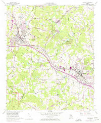
1956 Map of Conyers
USGS Topo · Published 1974About this map
Lithonia and Conyers anchor this mid-century look at the DeKalb and Rockdale county line, a landscape transitioning from rural agricultural districts to a developing suburban corridor. The Georgia RR cuts through the northern section, connecting historic quarrying centers like Rockland and Collinsville. This period shows the early emergence of residential developments such as Lakeview Estates alongside long-standing rural landmarks like Bruce St Sch & Union Ch. The topography is defined by significant monadnocks, including Arabia Mtn and Pine Mtn, while the Yellow River and Honey Creek drain the undulating hills. Local social life is mapped through numerous country churches and schools, from Whites Chapel to Miller Chapel, revealing the established social fabric before the major suburban expansion of the late 20th century.
Find a feature on this map
62 named features on this map. Tap any name to fly to it.
Don’t see what you’re looking for? This feature index may not catch every label — zoom into the map to look around manually.
Map Details
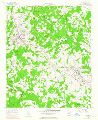
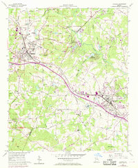
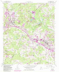
Editions of this 1956 Conyers Map
5 editions found
Other maps of this area

1888 · Atlanta
USGS Topo · 1:125,000

1890 · Atlanta
USGS Topo · 1:125,000

1892 · Atlanta
USGS Topo · 1:125,000

1895 · Atlanta
USGS Topo · 1:125,000

1896 · Monroe
USGS Topo · 1:125,000

1953 · Atlanta
USGS Topo · 1:250,000

1953 · Athens
USGS Topo · 1:250,000

1956 · Stone Mountain
USGS Topo · 1:24,000

1956 · Snellville
USGS Topo · 1:24,000

1956 · Conyers
USGS Topo · 1:24,000