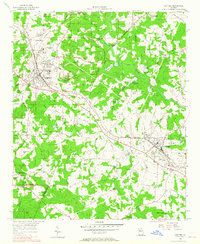
1956 Map of Conyers
USGS Topo · Published 1965About this map
The industrial and agricultural rhythms of the Georgia Piedmont are captured here, centered on the growing towns of Conyers and Lithonia. The granite industry is a dominant feature of the landscape, evidenced by numerous Granite Quarries and distinctive monadnocks like Arabia Mtn and Pine Mtn. These geological formations stand out in a terrain defined by the winding course of the Yellow River and its tributaries, such as Honey Creek and Swift Creek.
Find a feature on this map
77 named features on this map. Tap any name to fly to it.
Don’t see what you’re looking for? This feature index may not catch every label — zoom into the map to look around manually.
Map Details
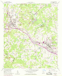
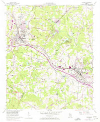
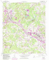
Editions of this 1956 Conyers Map
5 editions found
Other maps of this area

1888 · Atlanta
USGS Topo · 1:125,000

1890 · Atlanta
USGS Topo · 1:125,000

1892 · Atlanta
USGS Topo · 1:125,000

1895 · Atlanta
USGS Topo · 1:125,000

1896 · Monroe
USGS Topo · 1:125,000

1953 · Atlanta
USGS Topo · 1:250,000

1953 · Athens
USGS Topo · 1:250,000

1956 · Stone Mountain
USGS Topo · 1:24,000

1956 · Snellville
USGS Topo · 1:24,000

1956 · Conyers
USGS Topo · 1:24,000