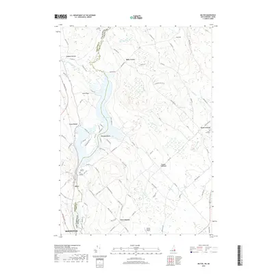
2018 Map of Milton
USGS Topo · Published 2018About this map
The Salmon Falls River and Milton Pond serve as the geographical and political spine of this region, delineating the border between New Hampshire and Maine. On the western bank, the village of Milton and the northern outskirts of Rochester represent the area's primary population centers, while the eastern side in Maine is characterized by the spread-out rural communities of Center Lebanon, North Lebanon, and West Lebanon. This corridor is punctuated by numerous historical burial grounds, including the Prospect Hill Cem near the river and Forest Grove Cem to the east.
Find a feature on this map
94 named features on this map. Tap any name to fly to it.
Don’t see what you’re looking for? This feature index may not catch every label — zoom into the map to look around manually.
Map Details
Editions of this 2018 Milton Map
This is the sole edition of this map. No revisions or reprints were ever made.
Other maps of this area

1891 · Berwick
USGS Topo · 1:62,500

1891 · Newfield
USGS Topo · 1:62,500

1893 · Berwick
USGS Topo · 1:62,500

1893 · Newfield
USGS Topo · 1:62,500

1919 · Alton
USGS Topo · 1:62,500

1928 · Wolfeboro
USGS Topo · 1:62,500

1933 · Berwick
USGS Topo · 1:48,000

1933 · Newfield
USGS Topo · 1:48,000

1937 · Newfield
USGS Topo · 1:62,500

1937 · Berwick
USGS Topo · 1:62,500