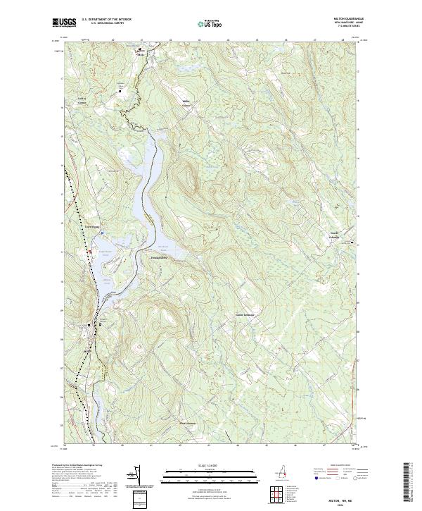
2024 Map of Milton
USGS Topo · Published 2024About this map
The Salmon Falls River serves as the primary corridor of this landscape, defining the winding boundary between New Hampshire and Maine. Along its course, the river expands into significant water bodies including Northeast Pond and Milton Pond, which have long shaped the settlement patterns and local industry of the region. The village of Milton Mills sits near the northern edge of the map, while the community of Milton occupies the western bank of the river system. On the Maine side, the landscape is dotted with smaller clusters such as North Lebanon and Center Lebanon. Genealogists will find a high density of burial sites throughout the area, including Prospect Hill Cem, Silver Street Cem, and the Applebee - Rines Cem. The terrain is marked by significant elevations like Milton Ridge and Hurd Hill, overlooking a network of brooks such as Bog Brook and Keay Brook that feed into the central river valley.
Find a feature on this map
106 named features on this map. Tap any name to fly to it.
Don’t see what you’re looking for? This feature index may not catch every label — zoom into the map to look around manually.
Map Details
Editions of this 2024 Milton Map
This is the sole edition of this map. No revisions or reprints were ever made.
Other maps of this area

1891 · Berwick
USGS Topo · 1:62,500

1891 · Newfield
USGS Topo · 1:62,500

1893 · Berwick
USGS Topo · 1:62,500

1893 · Newfield
USGS Topo · 1:62,500

1919 · Alton
USGS Topo · 1:62,500

1928 · Wolfeboro
USGS Topo · 1:62,500

1933 · Berwick
USGS Topo · 1:48,000

1933 · Newfield
USGS Topo · 1:48,000

1937 · Newfield
USGS Topo · 1:62,500

1937 · Berwick
USGS Topo · 1:62,500