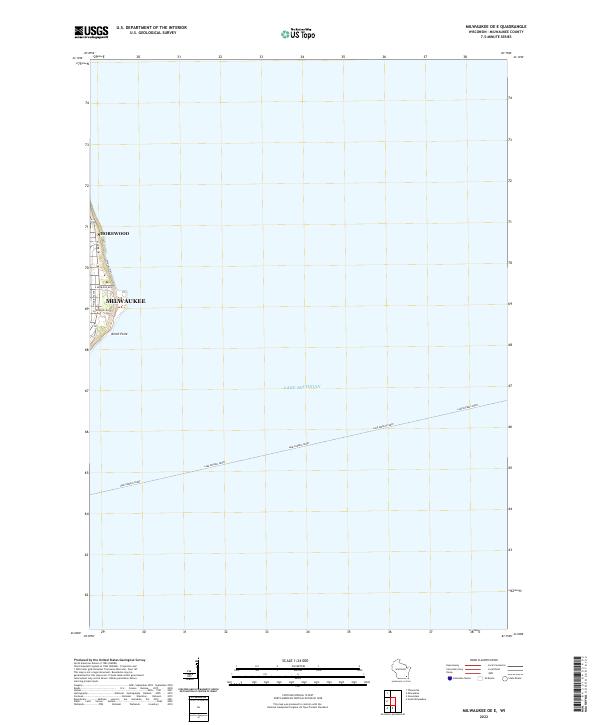
2022 Map of Milwaukee OE E
USGS Topo · Published 2022About this map
Lake Michigan dominates this coastal survey, where the easternmost urban edges of Milwaukee and Shorewood meet the shoreline. The map focuses on the littoral interface of the city and the lake, centered around the prominent North Point landmark. This modern record shows the specific urban street grid where E Kenwood Blvd and E Newberry Blvd approach the bluffs, providing a clear view of the residential and institutional layout at the water's edge. A notable transportation corridor is traced across the water by the Lake Express Ferry route, which cuts southeast toward the horizon. Along the immediate coast, the presence of a designated Water Trail and roads like N Lake Dr highlight the recreational and scenic value of the lakefront within these established Wisconsin communities.
Find a feature on this map
12 named features on this map. Tap any name to fly to it.
Don’t see what you’re looking for? This feature index may not catch every label — zoom into the map to look around manually.
Map Details
Editions of this 2022 Milwaukee OE E Map
This is the sole edition of this map. No revisions or reprints were ever made.
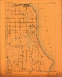
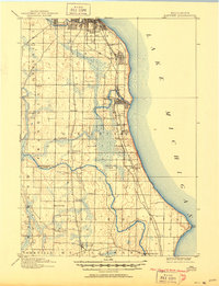
Historical Maps of Milwaukee Through Time
3 maps found