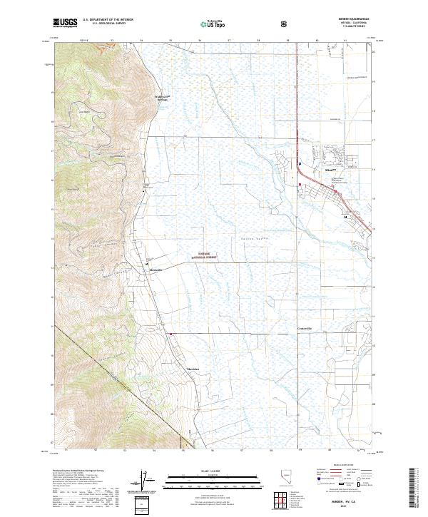
2021 Map of Minden
USGS Topo · Published 2021About this map
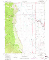
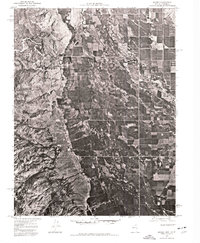
The Carson Range rises sharply from the valley floor on the western edge of this Nevada landscape, where the Toiyabe National Forest boundary meets a complex network of agricultural irrigation. In the lowlands of the Carson Valley, an intricate system of waterways including the W Fork Carson River, Home Slough, and Williams Slough supports the surrounding ranchlands. The settlement pattern is defined by historic clusters such as Sheridan, Centerville, and Mottsville, situated along the base of the mountains near Haines Canyon and Taylor Canyon.
Find a feature on this map
62 named features on this map. Tap any name to fly to it.
Don’t see what you’re looking for? This feature index may not catch every label — zoom into the map to look around manually.
Map Details
Editions of this 2021 Minden Map
This is the sole edition of this map. No revisions or reprints were ever made.