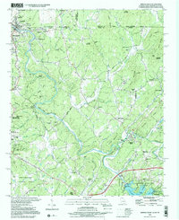
2024 Map of Mineral Bluff
USGS Topo · Published 2024About this map
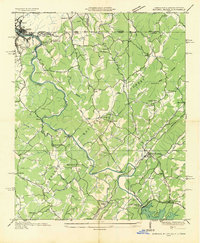
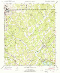
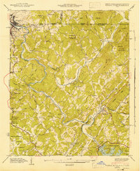
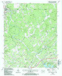
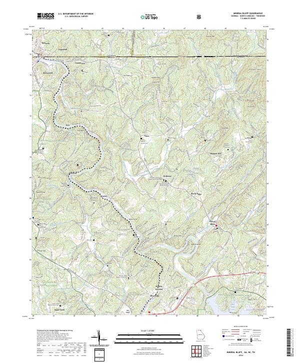
The Toccoa River winds northward through this corner of the Southern Appalachians, defining the valley landscape between Blue Ridge and the Tennessee state line. This region is characterized by small, dispersed communities like Mineral Bluff and Union, many of which grew around early industry and transportation corridors. The L & N RR follows the river's path, serving as a historic lifeline for the mountain settlements and the mining operations near Copperhill and McCaysville.
Find a feature on this map
97 named features on this map. Tap any name to fly to it.
Don’t see what you’re looking for? This feature index may not catch every label — zoom into the map to look around manually.
Map Details
Editions of this 2024 Mineral Bluff Map
This is the sole edition of this map. No revisions or reprints were ever made.
Historical Maps of Pantertown Through Time
6 maps found