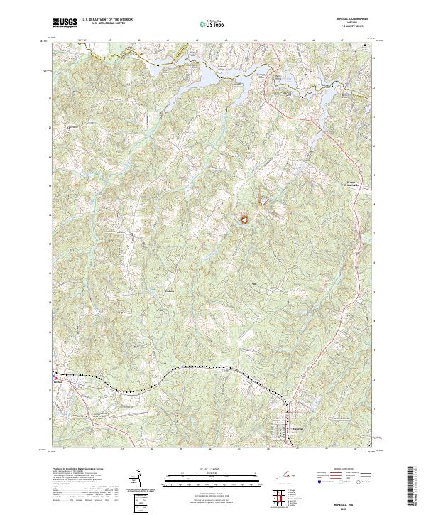
2022 Map of Mineral
USGS Topo · Published 2022About this map
The town of Mineral and the eastern edge of Louisa anchor this Virginia landscape, showing a region defined by its transition from historic crossroads to modern rural infrastructure. To the north, the fingers of Lake Anna reach into the terrain, creating a complex shoreline marked by numerous named landforms such as Sunning Island, Martins Point, and Bazzanella Point. These waters, which also include Christopher Cr and Contrary Cr, represent the post-industrial transformation of the area's hydrography.
Find a feature on this map
117 named features on this map. Tap any name to fly to it.
Don’t see what you’re looking for? This feature index may not catch every label — zoom into the map to look around manually.
Map Details
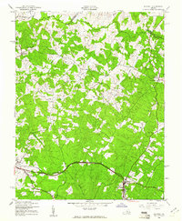
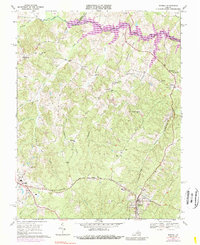
Editions of this 2022 Mineral Map
This is the sole edition of this map. No revisions or reprints were ever made.