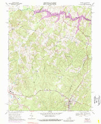
1969 Map of Mineral
USGS Topo · Published 1989About this map
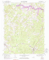
The town of Mineral and the county seat of Louisa anchor this late 1960s survey of Louisa County. The northern landscape is defined by the nascent presence of Lake Anna, where purple revision shading indicates the inundation of the North Anna River valley. This era captures the transition of the local economy from its namesake mineral extraction, evidenced by various Mines and a Quarry, to a region shaped by modern infrastructure. Rural life is centered around community hubs like Bibbs Store, Dickinson Store, and Wares Crossroads. The transportation network is dominated by the Chesapeake and Ohio railroad running through the south, while an Old Railroad Grade near Contrary Creek offers a clue to earlier industrial paths. Local genealogy is well-represented through numerous country churches, including Mt Pleasant Ch and Thessalonian Ch, along with the County High Sch located just west of Mineral.
Find a feature on this map
44 named features on this map. Tap any name to fly to it.
Don’t see what you’re looking for? This feature index may not catch every label — zoom into the map to look around manually.
Map Details
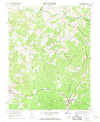
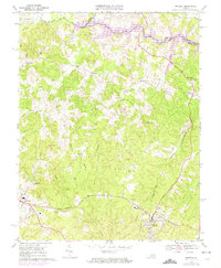
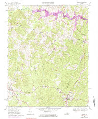
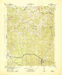
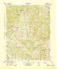
Editions of this 1969 Mineral Map
5 editions found
Other maps of this area

1887 · Spottsylvania
USGS Topo · 1:125,000

1890 · Goochland
USGS Topo · 1:125,000

1891 · Palmyra
USGS Topo · 1:125,000

1892 · Spottsylvania
USGS Topo · 1:125,000

1892 · Goochland
USGS Topo · 1:125,000

1892 · Gordonsville
USGS Topo · 1:125,000

1895 · Palmyra
USGS Topo · 1:125,000

1897 · Palmyra
USGS Topo · 1:125,000
1942 · Mineral
USGS Topo · 1:31,680
1942 · Lahore
USGS Topo · 1:31,680