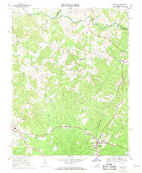
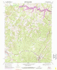
1969 Map of Mineral
USGS Topo · Published 1971About this map
Mineral and the county seat of Louisa anchor the southern reaches of this landscape, reflecting a region defined by its geological wealth and transit history. The Chesapeake and Ohio railroad cuts through the terrain, connecting these centers to the wider Piedmont. To the northeast, an Old Railroad Grade follows the contours of Contrary Creek, signaling earlier industrial paths through the hills. This area is notably dotted with small rural hubs and general stores, such as Bibbs Store, Dickinson Store, and Wares Crossroads, which served as the social centers for surrounding farms.
Find a feature on this map
42 named features on this map. Tap any name to fly to it.
Don’t see what you’re looking for? This feature index may not catch every label — zoom into the map to look around manually.
Map Details
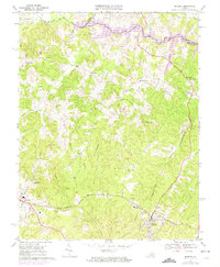
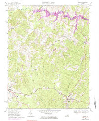
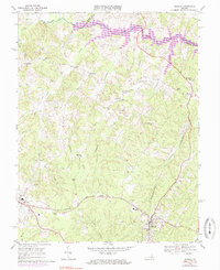
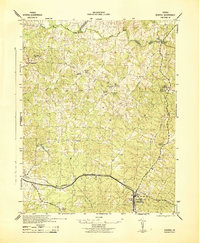
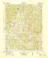
Editions of this 1969 Mineral Map
5 editions found
Other maps of this area

1887 · Spottsylvania
USGS Topo · 1:125,000

1890 · Goochland
USGS Topo · 1:125,000

1891 · Palmyra
USGS Topo · 1:125,000

1892 · Spottsylvania
USGS Topo · 1:125,000

1892 · Goochland
USGS Topo · 1:125,000

1892 · Gordonsville
USGS Topo · 1:125,000

1895 · Palmyra
USGS Topo · 1:125,000

1897 · Palmyra
USGS Topo · 1:125,000
1942 · Mineral
USGS Topo · 1:31,680
1942 · Lahore
USGS Topo · 1:31,680