
1942 Map of Lahore
USGS Topo · Published 1942About this map
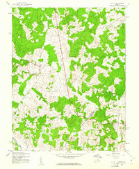
Isabella Lightfoot Training School sits at the northern edge of this wartime survey, serving as a focal point for the local community near the Orange and Spotsylvania county line. The landscape is defined by the winding course of the North Anna River and its various tributaries, including Clear Creek and Terrys Run, which carve through the undulating terrain. Small rural crossroads and gathering places like Lahore, Thornhill, and Terrells Store anchor the social geography of the era.
Find a feature on this map
22 named features on this map. Tap any name to fly to it.
Don’t see what you’re looking for? This feature index may not catch every label — zoom into the map to look around manually.
Map Details
Editions of this 1942 Lahore Map
2 editions found
Other maps of this area

1887 · Spottsylvania
USGS Topo · 1:125,000

1892 · Spottsylvania
USGS Topo · 1:125,000

1892 · Gordonsville
USGS Topo · 1:125,000

1942 · Mineral
USGS Topo · 1:31,680

1942 · Belmont
USGS Topo · 1:31,680

1942 · Contrary Creek
USGS Topo · 1:31,680

1943 · Mine Run
USGS Topo · 1:24,000

1943 · Unionville
USGS Topo · 1:24,000
1944 · Unionville
USGS Topo · 1:31,680
1944 · Mine Run
USGS Topo · 1:31,680