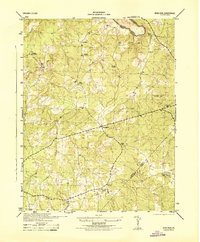
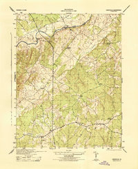
1944 Map of Mine Run
USGS Topo · Published 1944About this map
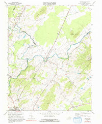
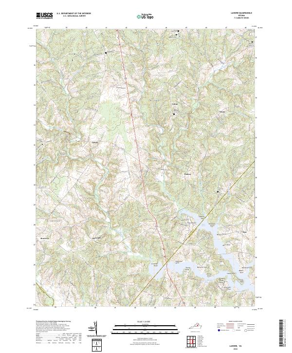
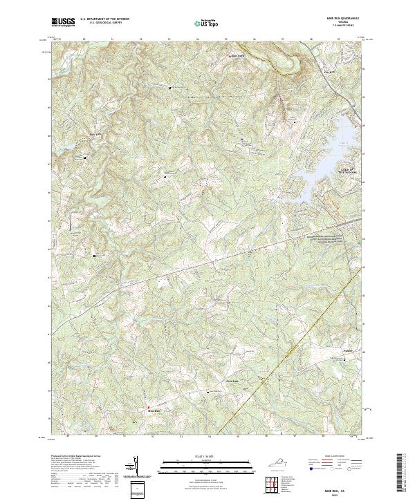
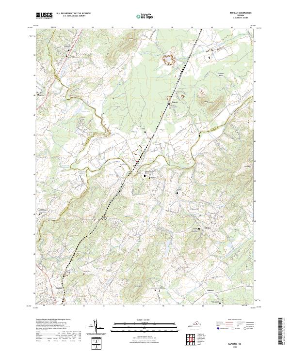
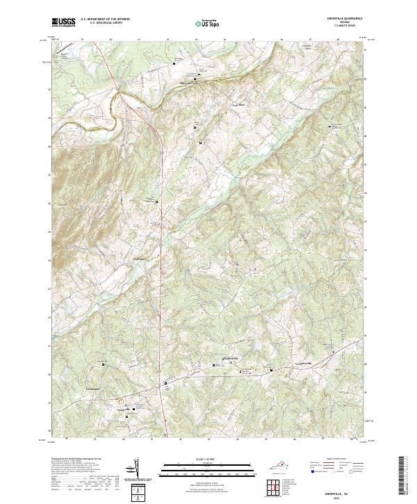
The Rapidan River forms the northern boundary of this 1940s landscape, marking the border where Culpeper and Orange Counties meet. This era in central Virginia shows a transition from traditional rural patterns toward mid-century land use, including the presence of a CCC Camp and the established boundaries of the Wilderness National Military Park to the east. The terrain is defined by a dense network of streams such as Cormack Run, Mine Run, and Strawberry Branch, which dictated the locations of early settlements and road crossings.
Find a feature on this map
25 named features on this map. Tap any name to fly to it.
Don’t see what you’re looking for? This feature index may not catch every label — zoom into the map to look around manually.
Map Details
Editions of this 1944 Mine Run Map
This is the sole edition of this map. No revisions or reprints were ever made.
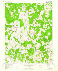
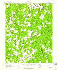
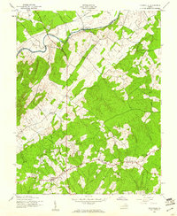
Historical Maps of Gold Dale Through Time
13 maps found
1942 Lahore
Orange County, VA
1943 Mine Run
Orange County, VA
1943 Unionville
Orange County, VA
1944 Mine Run
Orange County, VA
1944 Unionville
Orange County, VA
1968 Lahore
Orange County, VA
1968 Unionville
Orange County, VA
1969 Mine Run
Orange County, VA
1971 Rapidan
Orange County, VA
2022 Lahore
Orange County, VA
2022 Mine Run
Orange County, VA
2022 Rapidan
Orange County, VA
2022 Unionville
Orange County, VA