1969 Map of Mineral
USGS Topo · Published 1985About this map
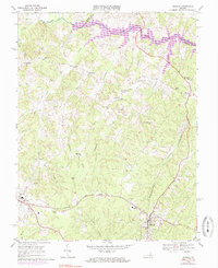
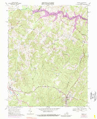
The town of Mineral and the county seat at Louisa anchor this survey of the Virginia Piedmont during a period of significant landscape transformation. The most striking development is the emergence of Lake Anna, formed by the damming of the North Anna River along the borders of Louisa, Orange, and Spotsylvania Counties. This massive reservoir redefined the local geography, inundating several creek valleys and creating an intricate shoreline where small streams like Tomahawk Creek once flowed freely.
Find a feature on this map
46 named features on this map. Tap any name to fly to it.
Don’t see what you’re looking for? This feature index may not catch every label — zoom into the map to look around manually.
Map Details
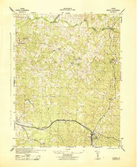
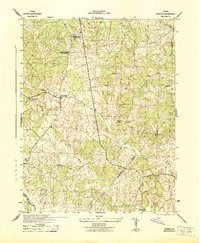
Editions of this 1969 Mineral Map
5 editions found
Other maps of this area

1887 · Spottsylvania
USGS Topo · 1:125,000

1890 · Goochland
USGS Topo · 1:125,000

1891 · Palmyra
USGS Topo · 1:125,000

1892 · Spottsylvania
USGS Topo · 1:125,000

1892 · Goochland
USGS Topo · 1:125,000

1892 · Gordonsville
USGS Topo · 1:125,000

1895 · Palmyra
USGS Topo · 1:125,000

1897 · Palmyra
USGS Topo · 1:125,000
1942 · Mineral
USGS Topo · 1:31,680
1942 · Lahore
USGS Topo · 1:31,680