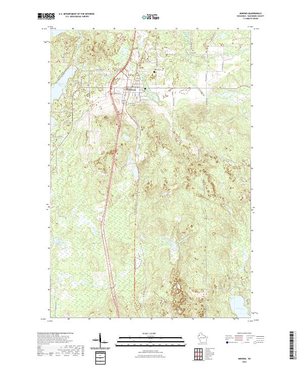
2022 Map of Minong
USGS Topo · Published 2022About this map
Minong stands at the center of this landscape in northwestern Wisconsin, where the former rail corridor and modern highway infrastructure intersect. The village is flanked by significant local history sites, including the Old Minong Cem and Greenwood Cem to the east. This modern survey illustrates how historical transit routes have been repurposed, such as the Wild Rivers State Trl, which follows the path of an older railroad grade through the dense network of wetlands and water bodies. The terrain is defined by its diverse hydrography, ranging from the broad waters of Gull Lake and Pokegama Lake to the winding courses of Stuntz Brook and Shell Creek. These features indicate a landscape shaped by glacial activity, with numerous kettle lakes and marshy lowlands like Bond Lake interspersed between family-named roads such as Pixley Dr and Art Johnson Rd.
Find a feature on this map
53 named features on this map. Tap any name to fly to it.
Don’t see what you’re looking for? This feature index may not catch every label — zoom into the map to look around manually.
Map Details
Editions of this 2022 Minong Map
This is the sole edition of this map. No revisions or reprints were ever made.
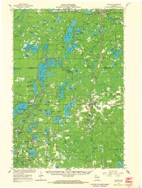
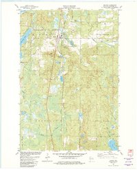
Historical Maps of Frog Creek Through Time
5 maps found