2016 Map of Mirage
USGS Topo · Published 2016About this map
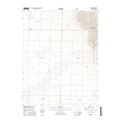
Mirage sits at the base of the Sangre de Cristo foothills, serving as a focal point for this Saguache County landscape where mountain runoff meets the valley floor. The settlement is anchored by the Mirage Cem, while the surrounding land is defined by an intricate network of irrigation systems necessary for high-altitude agriculture. Named water works like the Wales Shellabarger Ditch Number 1, Hoffman Niedhardt Ditch, and Shellabarger-Eaton Ditch trace the historical management of San Luis Cr and its tributaries. To the east, the terrain rises sharply into the Rio Grande National Forest, where the Wild Cherry Trail and Rito Alto Trail provide access to the steep canyons and ridges of Marshall Gulch. This 2016 survey illustrates the persistent reliance on legacy water rights and the traditional ranching infrastructure that characterizes this portion of the San Luis Valley.
Find a feature on this map
42 named features on this map. Tap any name to fly to it.
Don’t see what you’re looking for? This feature index may not catch every label — zoom into the map to look around manually.
Map Details
Editions of this 2016 Mirage Map
This is the sole edition of this map. No revisions or reprints were ever made.
Other maps of this area

1950 · Valley View Hot Springs
USGS Topo · 1:24,000

1954 · Trinidad
USGS Topo · 1:250,000

1954 · Pueblo
USGS Topo · 1:250,000

1955 · Trinidad
USGS Topo · 1:250,000

1957 · Pueblo
USGS Topo · 1:250,000

1958 · Trinidad
USGS Topo · 1:250,000

1958 · Pueblo
USGS Topo · 1:250,000

1959 · Trinidad
USGS Topo · 1:250,000

1959 · Electric Peak
USGS Topo · 1:62,500

1962 · Pueblo
USGS Topo · 1:250,000