1981 Map of Miranda Flat SE
USGS Topo · Published 1981About this map
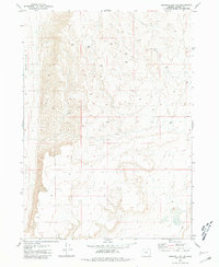
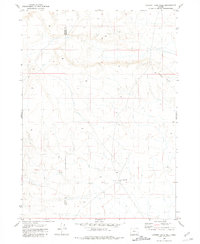
The arid high desert of Harney County is defined by its subtle drainage patterns and isolated water sources in this 1981 survey. A notable landmark in this sparse landscape is the Pipeline Well, a critical point for infrastructure and livestock in an area otherwise dominated by expansive Depression landforms. The terrain consists of intricate contouring that illustrates the basin-and-range geography of eastern Oregon, where movement is limited to rugged 4wd tracks and unimproved trails. This edition reflects the land as it was documented through aerial photography in 1974 and field-checked in 1977, capturing a snapshot of the region's ranching and utility footprint before the digital era.
Find a feature on this map
3 named features on this map. Tap any name to fly to it.
Don’t see what you’re looking for? This feature index may not catch every label — zoom into the map to look around manually.
Map Details
Editions of this 1981 Miranda Flat SE Map
This is the sole edition of this map. No revisions or reprints were ever made.
Other maps of this area

1955 · Adel
USGS Topo · 1:250,000

1957 · Adel
USGS Topo · 1:250,000

1958 · Adel
USGS Topo · 1:250,000

1962 · Adel
USGS Topo · 1:250,000
1981 · Coyote Lake West
USGS Topo · 1:24,000
1981 · Tule Springs
USGS Topo · 1:24,000
1981 · Tule Springs NE
USGS Topo · 1:24,000
1981 · Ancient Lake Well
USGS Topo · 1:24,000
1981 · Miranda Flat SW
USGS Topo · 1:24,000
1981 · Miranda Flat
USGS Topo · 1:24,000