
1981 Map of Tule Springs NE
USGS Topo · Published 1981About this map
Willow Creek water sources define the sparse human footprint in this high-desert region of Harney County. The landscape is oriented around essential water points, most notably the Upper Willow Creek Waterhole and a series of strategically located wells. These features, including the Lower Willow Creek Well and Middle Willow Creek Well, represent the critical infrastructure required for ranching and survival in the arid Oregon interior. The map illustrates a network of unimproved roads and light-duty tracks that connect these water sources, reflecting a land management pattern focused on livestock and seasonal access. The presence of multiple unnamed well locations underscores the continuous effort by the U.S. Geological Survey to document the vital hydraulic resources of the Tule Springs area.
Find a feature on this map
4 named features on this map. Tap any name to fly to it.
Don’t see what you’re looking for? This feature index may not catch every label — zoom into the map to look around manually.
Map Details
Editions of this 1981 Tule Springs NE Map
This is the sole edition of this map. No revisions or reprints were ever made.
Other maps of this area

1955 · Adel
USGS Topo · 1:250,000

1957 · Adel
USGS Topo · 1:250,000

1958 · Adel
USGS Topo · 1:250,000

1962 · Adel
USGS Topo · 1:250,000

1981 · Coyote Lake West
USGS Topo · 1:24,000

1981 · Tule Springs
USGS Topo · 1:24,000

1981 · Miranda Flat SW
USGS Topo · 1:24,000

1981 · Miranda Flat SE
USGS Topo · 1:24,000
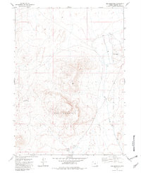
1981 · Red Mountain
USGS Topo · 1:24,000
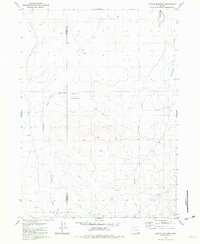
1981 · Coyote Meadows
USGS Topo · 1:24,000