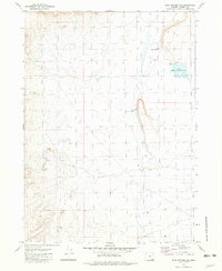
1981 Map of Coyote Meadows
USGS Topo · Published 1982About this map
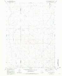
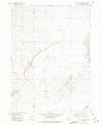
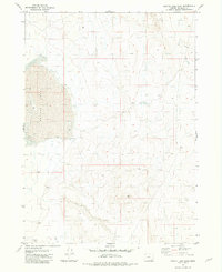
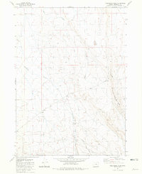
Coyote Meadows lies along the desolate border of Harney and Malheur counties, characterized by a sparse network of seasonal drainages and vital water points in the high desert. This early 1980s topography identifies essential landmarks for ranching and navigation, such as the Coyote Meadows Well and a simple spring. The landscape is etched with ephemeral watercourses, including Whitehorse Creek, Antelope Creek, and Twelvemile Creek, which define the drainage patterns of this arid basin.
Find a feature on this map
12 named features on this map. Tap any name to fly to it.
Don’t see what you’re looking for? This feature index may not catch every label — zoom into the map to look around manually.
Map Details
Editions of this 1981 Coyote Meadows Map
This is the sole edition of this map. No revisions or reprints were ever made.
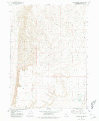
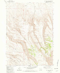
Other maps of this area

1955 · Adel
USGS Topo · 1:250,000

1957 · Adel
USGS Topo · 1:250,000

1958 · Adel
USGS Topo · 1:250,000

1962 · Adel
USGS Topo · 1:250,000
1981 · Coyote Lake West
USGS Topo · 1:24,000
1981 · Coyote Lake East
USGS Topo · 1:24,000
1981 · Twelvemile Ridge
USGS Topo · 1:24,000
1981 · Tule Springs NE
USGS Topo · 1:24,000
1981 · Miranda Flat SE
USGS Topo · 1:24,000
1981 · Dry Creek Bench
USGS Topo · 1:24,000