2022 Map of Mirando City
USGS Topo · Published 2022About this map
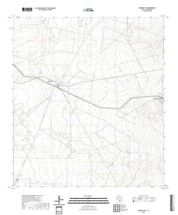
Mirando City and the small settlement of Aguilares anchor this landscape in eastern Webb County, reflecting the enduring ranching and transportation patterns of South Texas. The area is defined by a network of seasonal watercourses, including Reiser Cr, Ryo Cr, and Cerrito Cr, which carve through the terrain. Evidence of the region's long-term family history is found at the Aguilares Cem, while the local road network—ranging from Ranch Rd 3169 to smaller corridors like Jennings Rd—connects the remote homesteads of Cerrito Prieto to the larger hubs. The layout of Garcia Acres and the intersection of various ranch roads provide a detailed look at contemporary land use and property divisions in this semi-arid environment.
Find a feature on this map
15 named features on this map. Tap any name to fly to it.
Don’t see what you’re looking for? This feature index may not catch every label — zoom into the map to look around manually.
Map Details
Editions of this 2022 Mirando City Map
This is the sole edition of this map. No revisions or reprints were ever made.
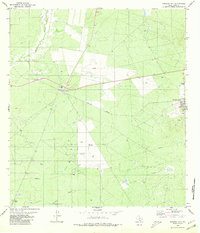
Historical Maps of Mirando City Through Time
Featured Locations
- Webb County, TX
- Mirando City, TX
- Ranchitos los Veteranos Colonia, TX
- Aguilares, TX
- Aguilares Acres Colonia, TX