Loading...
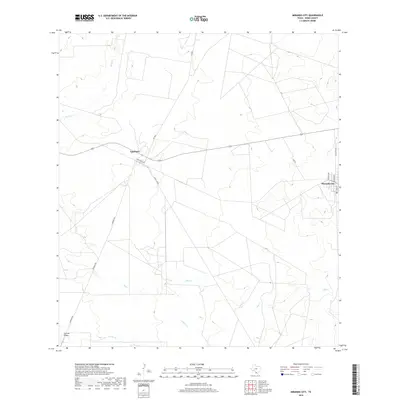
Loading map...1980 Map of Mirando City
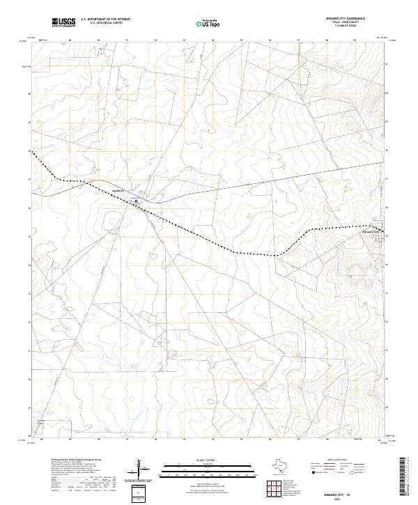
USGS Topo · Published 1980About this map
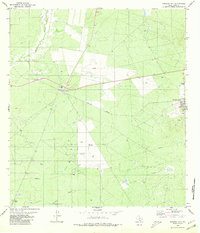
Mirando City and the nearby settlement of Aguilares anchor this landscape in Webb County, defined largely by the infrastructure of the energy industry. Numerous sites for Oil Well and Gas Well clusters are scattered across the brushland, particularly concentrated near the eastern edge of the quadrangle. This industrial presence is further evidenced by a prominent Pumping Station and several marked Pipeline corridors that traverse the terrain.
Find a feature on this map
16 named features on this map. Tap any name to fly to it.
Don’t see what you’re looking for? This feature index may not catch every label — zoom into the map to look around manually.
Map Details
Date Portrayed1980
Date Published1980
PublisherU.S. Geological Survey
Map TypeTopographic
Scale1:24,000
Physical Dimensions23.4 x 27.3 inches
Editions of this 1980 Mirando City Map
This is the sole edition of this map. No revisions or reprints were ever made.
Historical Maps of Aguilares Acres Colonia Through Time
6 maps found
Featured Locations
- Webb County, TX
- Mirando City, TX
- Ranchitos los Veteranos Colonia, TX
- Aguilares, TX
- Aguilares Acres Colonia, TX
Source Details
SourceU.S. Geological Survey
CopyrightPublic Domain