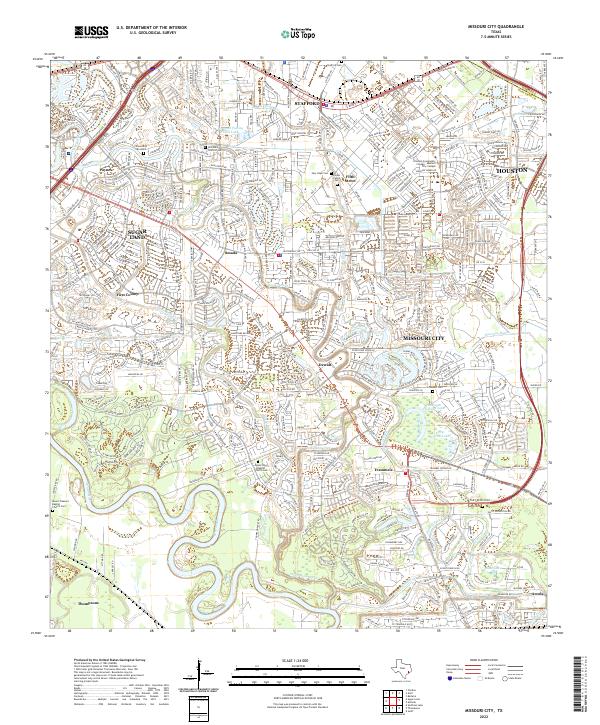
2022 Map of Missouri City
USGS Topo · Published 2022About this map
The meandering Brazos River and its intricate drainage network, including Snake Slough and Oyster Creek, define this region of Fort Bend County. By the early 2020s, the area shows a dense suburban landscape where historic small settlements like Dewalt, Trammels, and Smada are interwoven with modern residential developments in Missouri City and Sugar Land. This proximity of old and new is most evident in the preservation of numerous family and community burial grounds, such as the Packer Family Cem and the Old Pioneer Cem, which remain as markers of the area's earlier agricultural life.
Find a feature on this map
46 named features on this map. Tap any name to fly to it.
Don’t see what you’re looking for? This feature index may not catch every label — zoom into the map to look around manually.
Map Details
Editions of this 2022 Missouri City Map
This is the sole edition of this map. No revisions or reprints were ever made.
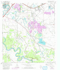
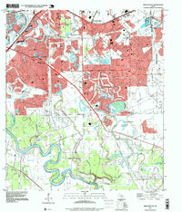
Historical Maps of Crestmont Place Through Time
3 maps found