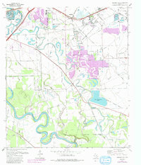
1970 Map of Missouri City
USGS Topo · Published 1991About this map
The Brazos River carves a winding path through this region, its tight meanders shaping the landscape south of Sugar Land. This era shows the suburban transition of the Texas Gulf Coast, where established communities like Stafford and Missouri City meet sprawling new developments indicated by purple revisions. The agricultural roots of the area are still visible in the scattered settlements of Paynes, Herbert, and Dewalt, alongside landmarks like the Houston Fishing Club and the Willowisp Country Club.
Find a feature on this map
49 named features on this map. Tap any name to fly to it.
Don’t see what you’re looking for? This feature index may not catch every label — zoom into the map to look around manually.
Map Details
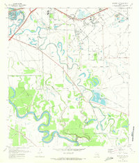
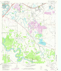
Editions of this 1970 Missouri City Map
3 editions found
Other maps of this area

1915 · Bellaire
USGS Topo · 1:24,000

1915 · Alief
USGS Topo · 1:24,000

1915 · Clodine
USGS Topo · 1:24,000

1919 · Clodine
USGS Topo · 1:31,680

1920 · Almeda
USGS Topo · 1:31,680

1921 · Bellaire
USGS Topo · 1:31,680

1943 · Juliff
USGS Topo · 1:31,680

1950 · Houston
USGS Topo · 1:250,000

1953 · Lake George
USGS Topo · 1:24,000

1953 · Thompsons
USGS Topo · 1:24,000