
1953 Map of Thompsons
USGS Topo · Published 1955About this map
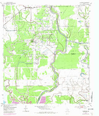
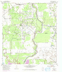
The Thompsons Ridge Field oil development dominates the landscape of this 1950s survey, characterized by a dense grid of Oil Wells, Oil Tanks, and the worker settlement at Humble Camp. Positioned along the oxbows of the Brazos River, the area reflects an era when industrial extraction intersected with older agricultural and institutional boundaries. To the south, the sprawling Darrington State Prison Farm occupies a significant portion of the land, bounded by the Missouri Pacific Railroad and the meandering Oyster Creek.
Find a feature on this map
32 named features on this map. Tap any name to fly to it.
Don’t see what you’re looking for? This feature index may not catch every label — zoom into the map to look around manually.
Map Details
Editions of this 1953 Thompsons Map
3 editions found
Other maps of this area

1920 · Almeda
USGS Topo · 1:31,680

1943 · Rosharon
USGS Topo · 1:31,680

1943 · Juliff
USGS Topo · 1:31,680

1950 · Houston
USGS Topo · 1:250,000

1953 · Lake George
USGS Topo · 1:24,000

1953 · Damon
USGS Topo · 1:24,000

1953 · Otey
USGS Topo · 1:24,000
1955 · Almeda
USGS Topo · 1:24,000

1955 · Sugar Land
USGS Topo · 1:62,500

1956 · Houston
USGS Topo · 1:250,000